Aerial Photography for Real Estate: When It Sells a Central Coast Listing
Updated October 21, 2026 · Aerial
Aerial photography for real estate earns its place when the story of a listing is bigger than the house itself: acreage, vineyard rows, an ocean or open-space view, a hillside setting, or a lot that sits next to a park or trail. If the best selling point can be seen from the street or from inside the living room, aerials are optional. If it can only be understood from above, they are often the most useful images in the set.
What does aerial photography actually show that ground photos can't?
Ground-level photos are great at rooms, finishes and curb appeal. They are not great at scale, boundaries or surroundings. A buyer scrolling a listing wants to know where the property sits: how far it is from the water, what the lot looks like from end to end, whether that "view" is a sliver between rooftops or a wide open sweep of hills.
Real estate aerial photography answers those questions in one frame. It shows the shape of the parcel, the relationship between the home and its outbuildings, the driveway and approach, the neighborhood layout and the landscape around it. On the Central Coast, where so much of the value is in the setting, that context can matter as much as the kitchen.
Which San Luis Obispo County listings need aerials?
Not every listing does. These are the property types where aerials tend to carry real weight in San Luis Obispo County.
Acreage, ranches and vineyard properties
Around Templeton and Paso Robles, a lot of listings are about land: rolling acreage, planted vines, barns, arenas, ponds or long private drives. From the ground, a ten-acre parcel looks like a fence line and some trees. From above, buyers can see the whole property, how it's laid out and how the home sits within it. For wine country listings, aerials are close to essential.
Homes near the ocean or open space
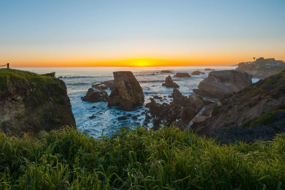
In Pismo Beach, Shell Beach, Cayucos and Cambria, proximity is often the headline. A home a few blocks from the bluffs or the sand can look like any other house in a ground photo. An aerial shows the distance to the coastline, the surrounding streets and the open space that buyers are paying for. The same goes for homes that back onto greenbelts, ag land or protected hillsides elsewhere in the county.
Hillside and view properties
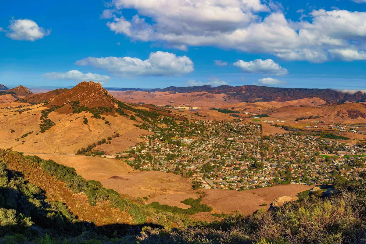
Hillside homes in San Luis Obispo, Arroyo Grande, Morro Bay and the North County often have views that are hard to communicate from the deck alone. A view from above shows the view corridor and the terrain together, so a buyer understands both what they'll see and how the home is positioned on the slope.
Large lots
Even outside of acreage, an oversized lot is a selling point that ground photos tend to undersell. Aerials make room for a pool, an ADU, a shop, RV parking or a big garden visible at a glance. Buyers with a project in mind can picture it immediately.
New-construction neighborhoods
Newer communities like Avila Ranch in San Luis Obispo are sold partly on the neighborhood itself: the street layout, the parks, the paths and how the homes fit together. Aerials help buyers see the community plan, not just one front elevation. Builders and agents marketing multiple homes in the same area often get repeated use out of a well-made aerial set.
Homes next to parks, trails or schools
If the home is a short walk from a park, trailhead, or school, an aerial can show that relationship plainly. It turns "close to the park" in the remarks into something a buyer can verify with their own eyes.

When can you skip aerials?
Aerials are an add-on for a reason. Some listings simply don't benefit from them, and adding them anyway just adds cost without adding information.
- Condos and townhomes in dense complexes. From above, the unit is one roofline among many. Interior photos, a floor plan and a virtual tour usually do more work.
- Standard tract homes on standard lots where the neighborhood isn't a differentiator. A strong front exterior and good interiors may tell the whole story.
- Homes whose surroundings aren't a selling point. If the view from above is a busy road or an unremarkable block, an aerial highlights the wrong thing.
- Properties where the interior is the entire pitch. A remodeled bungalow with a designer kitchen sells on finishes. Spend the budget on twilight exteriors or a reel instead.
A simple test: if you'd describe the property in the remarks with words like acreage, view, steps to, backs to, or lot size, aerials are worth a look. If not, they're probably optional.
Aerial photos or aerial video: which one does a listing need?
At The Showing Studio, aerial photos and aerial video are separate add-ons, so you can pick one, both, or neither depending on the property.
Aerial photos are still images taken from above. They're the workhorse: they go in the MLS photo set, on the property website, in flyers and postcards, and in social posts. For most listings that need a view from above, aerial photos alone are enough.
Aerial real estate video is moving footage from above. Video is better at communicating flow and scale: following a private drive up to the house, revealing a view as the camera rises, or tracing the edge of a vineyard. It works well inside a listing reel, on a property website and across social platforms where motion holds attention.
A rough guide:
- Aerial photos only suit large lots, homes near parks or the coast, and new-construction neighborhoods.
- Aerial photos plus aerial video suit acreage, vineyard and ranch properties, luxury listings, and hillside homes where the approach and the view are part of the experience.
- Neither suits condos, dense infill and listings where the inside is the story.
How do agents actually use aerial images?
A good aerial set does more than fill a slot in the MLS. Here's where agents in San Luis Obispo County tend to put them to work.
- As the hero image. For land, view and coastal properties, an aerial can be the strongest first photo in the listing. It sets the context before buyers ever click into the rooms.
- On the property website. Every booking with The Showing Studio includes a customizable .com property website for the listing. Aerials make a natural opening banner or a location section. You can see how a finished site is laid out on the live listing example.
- For location context. An aerial placed near the end of the photo set helps buyers place the home in its neighborhood after they've seen the interior.
- On social media. Aerial video clips and wide aerial photos stand out in a feed full of interior shots. They're also useful for "just listed" and "open house" posts.
- In print. Postcards, brochures and window flyers benefit from an image that shows the whole property and its setting in one look.
Check your MLS's own rules on photo order, captions and any annotation over aerial images before you publish.
Can every address be photographed from the air?
No, and it's worth knowing that before the listing appointment. Airspace restrictions can apply near airports, and some addresses in the county fall close enough to San Luis Obispo County Regional Airport or other airfields that flying there isn't possible or needs extra lead time. Other locations can have their own limits as well.
When you book aerials, the address is checked ahead of the shoot. If a property can't be flown, you'll hear about it before shoot day rather than after, so you can plan around it with stronger exteriors, a twilight session or a virtual tour.
What happens if the weather doesn't cooperate?
The Central Coast has its own weather patterns, and they affect aerials more than any other part of a shoot.
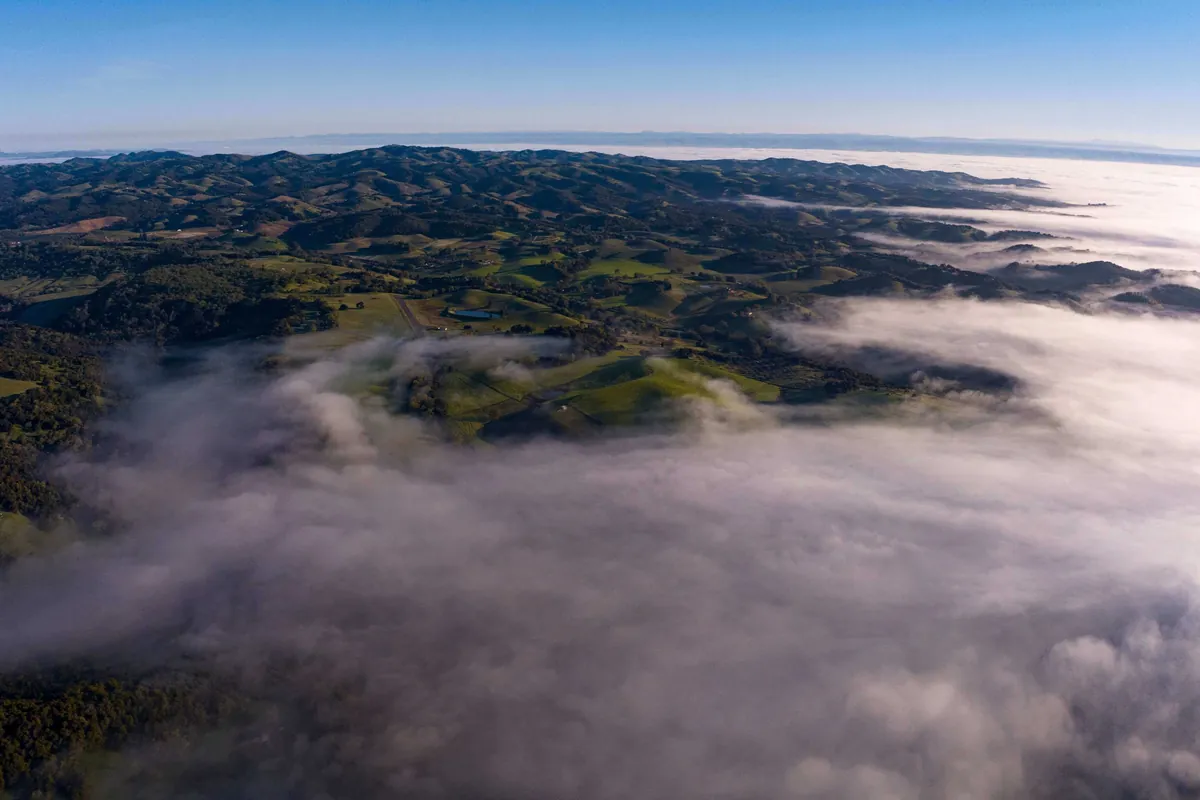
- Marine layer. Coastal towns like Cayucos, Cambria, Morro Bay, Pismo Beach and Shell Beach often start the day under fog or low cloud. It can lift by midday or hang on all day. Aerials of an ocean-view home look very different under a gray ceiling than under clear sky.
- Wind. Afternoon wind is common in many parts of the county, especially near the coast and along open ridgelines. Strong wind can make flying unsafe or the footage unusable.
- Rain and low visibility. These postpone aerials outright.
If conditions aren't right, the aerial portion may be rescheduled. Interior photos can often go ahead as planned, with the aerials captured on a better day. Building a little flexibility into your listing timeline helps, especially for coastal listings in late spring and summer when the marine layer is most persistent.
How should sellers prepare a property for aerials?
From above, the whole property is on display, including things nobody notices from the street. A few simple steps help:
- Move cars out of the driveway and off the street in front of the home if possible.
- Put away trash and recycling bins, hoses, tarps and yard equipment.
- Cover or tidy the pool and spa area, and remove pool cleaners.
- Clear the roof and gutters of visible debris, if it's safe and practical to do so.
- Open gates and let neighbors know if the shoot is happening on a shared drive.
The studio's seller prep sheet covers the rest of the shoot, inside and out, and is easy to forward to your sellers.
How much does aerial photography for real estate cost?
At The Showing Studio, pricing is build-your-own and based on the home's living area. Aerial photos and aerial video are each add-ons you can include in the shoot, and adding more add-ons unlocks bundle savings. Listings in the city of San Luis Obispo get 10% off. The best way to see the number is to build the shoot on the booking page and watch the price update live.
For a deeper look at how listing media is priced locally and what's included with every booking, read what real estate photography costs in San Luis Obispo. If you're still choosing who to work with, this guide to hiring a real estate photographer in San Luis Obispo County covers what to look for.
How fast do aerials come back?
Aerial photos are delivered with the rest of the listing photos, floor plan showcase and property website within 24 hours. Reels are delivered in 24 to 48 hours. If you need everything sooner, RUSH! delivery is available as an add-on. Everything lands in the client portal, where you can download files and share them with your sellers.
Ready to add aerials to your next listing?
If the land, the view or the location is part of what you're selling, aerials help buyers see it before they ever visit. Build your shoot, add aerial photos, aerial video or both, and see the price instantly on /book/. Questions about a specific address? Call Heather at (805) 459-2283 or email heather@theshowingstudio.com.
Questions agents ask
Which listings benefit most from aerial photography for real estate?
Acreage, vineyard and ranch properties, homes near the ocean or open space, hillside view homes, large lots, new-construction neighborhoods and homes next to parks or trails. Condos and standard lots where the interior is the story often don't need aerials.
Should I order aerial photos, aerial video or both?
Aerial photos cover most listings that need a view from above. Add aerial video when the approach, the land or the view is part of the experience, such as acreage, vineyards and luxury hillside homes.
How does real estate drone photography pricing work at The Showing Studio?
Aerial photos and aerial video are add-ons to a build-your-own shoot priced by the home's living area. Adding more add-ons unlocks bundle savings, and you can see the live price on the booking page.
Can every property be photographed from the air?
No. Airspace restrictions can apply near airports, including San Luis Obispo County Regional Airport, so some addresses can't be flown. Addresses are checked before the shoot so you can plan around any limits.
What happens if it's foggy or windy on shoot day?
Marine layer, wind or rain can push the aerial portion to another day. Interior photos can often go ahead as scheduled, with aerials captured when conditions improve.
Booking a listing in San Luis Obispo County?
Photos, a floor plan showcase and the listing's own website are back within 24 hours. Build the shoot and see the price as you go.
Book a shoot